Advanced risk software—modelling the risks we face from our natural hazards
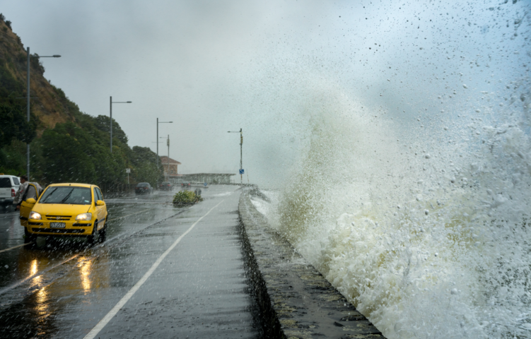
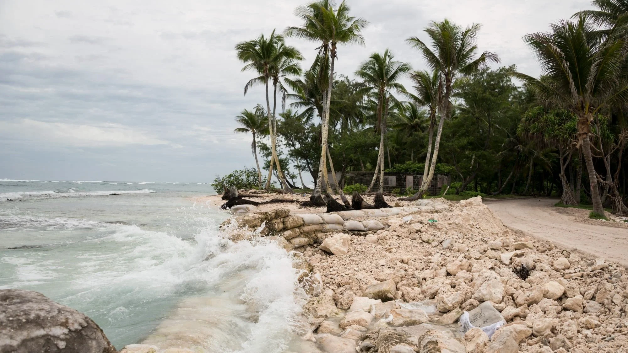
RiskScape is an open-source risk model that enables swift, accurate assessment of risk to people, buildings, and infrastructure from our damaging natural hazards—like volcanic eruptions, earthquakes, landslides, tsunami, and floods.
RiskScape provides an evidence-based future-proofing lens for local planning to protect people and property and allow communities to better anticipate, respond to, and recover from natural hazards.
RiskScape is highly customisable and tailored to suit the hazard and input data being modelled.
Why choose RiskScape?
-

World-leading
Built on the world-leading and award-winning scientific expertise from Earth Sciences New Zealand.
-

Flexible
RiskScape gives you the power to define your own risk analysis calculation in expert, standalone or shared cloud platforms.
-

Powered for resilience
RiskScape’s foundations in science ensure it is built to be scalable with resilient solutions at its heart.
Visualise your risk

Counts of landslide building risk scores day and night.

Counts of volcanic ash building risk scores at night.

Earthquake adaptation tool.